Summit Helvellyn via the quieter and most direct path on this classic and challenging circular walk.
Distance: 15.7km (9.8m) / Elev Gain: 967m
High Point: Helvellyn - 950m
Map: Lake District BMC Map
GPS Download: Helvellyn Circular from Thirlmere
Starting Point: Swirls Car Park
[sgpx gpx=”/wp-content/uploads/gpx/Helvellyn Circular from Thirlmere.gpx”]
This circular walk will get you to the summit of Helvellyn via the most direct path up the mountain. Soon after the summit there’s a bad weather bail out option, otherwise you’ll tick off a couple more Wainwrights before descending to the beautiful Grisedale Tarn – a great wild camping spot. An undulating forest track with glimpses of stunning scenery completes the walk.
This walk up Helvellyn begins by Thirlmere reservoir and is super accessible when staying in Keswick, Ambleside or Windermere. Its a great alternative to the popular Striding Edge route, and includes a bad weather bail out should the weather turn ugly. The walk gives a completely different perspective to England’s third highest mountain, and allows you to bag some perhaps lesser known Wainwrights along the way.
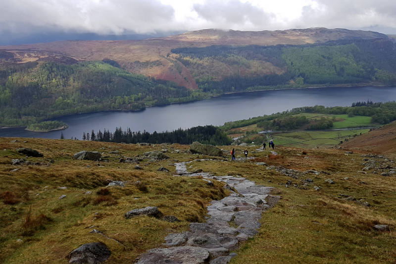
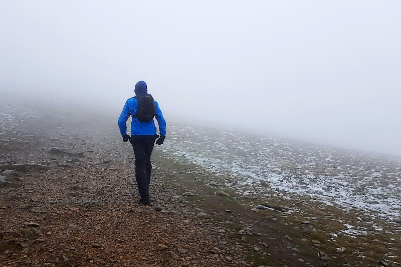
The walk begins by taking a well defined (and signposted) path at the back of Swirls car park. A steep and at times leg burning rocky path leads up into the clouds for almost 2 miles! Turn around for some impressive views and marvel at the giant boulders, which one hopes never decide to roll down the mountain! The first marked summit of the day is Lower Man, at this point you’ve broken the back of the ascent!
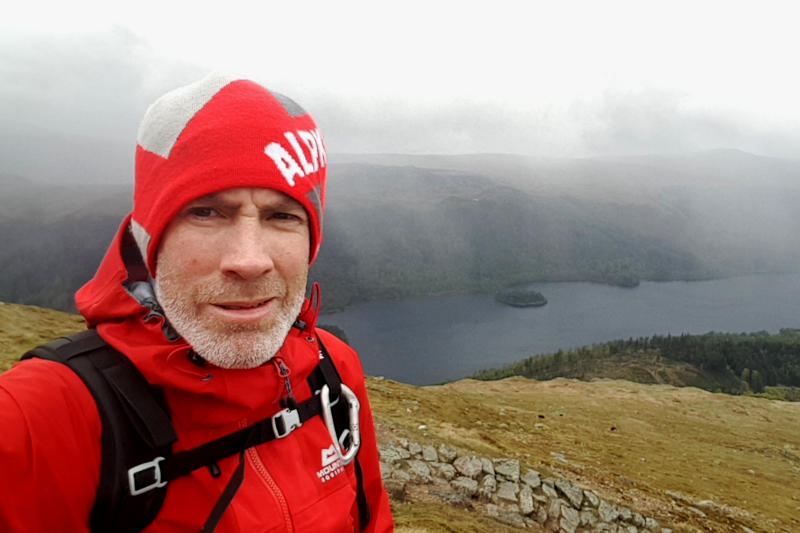
You’ll soon arrive at Swirral Edge, which in good weather is easily recognisable and is the likely route off the mountain for those who walked up via Striding Edge. Continue to the summit of Helvellyn which is marked by a trig point, storm shelter and usually a bunch of tired and hungry walkers! Plan to spend a little time here, there are some sublime views and of course its the ideal place to refuel and perhaps brew up!
Heading south from the summit you’ll pass Striding Edge to your east, this is the most famous ridge in the Lake District and makes for a great photo. Its now time to crank up the pace and tick off a couple more Wainwrights – starting with Nethermost Pike (891 metres), the second highest in the Helvellyn range.
Bad Weather Bail Out: If the weather is crap or you have limited time you can abort the walk just shy of the summit of Nethermost Pike. The path zig-zags down the mountain via Comb Crag – its easily identifiable on the map.
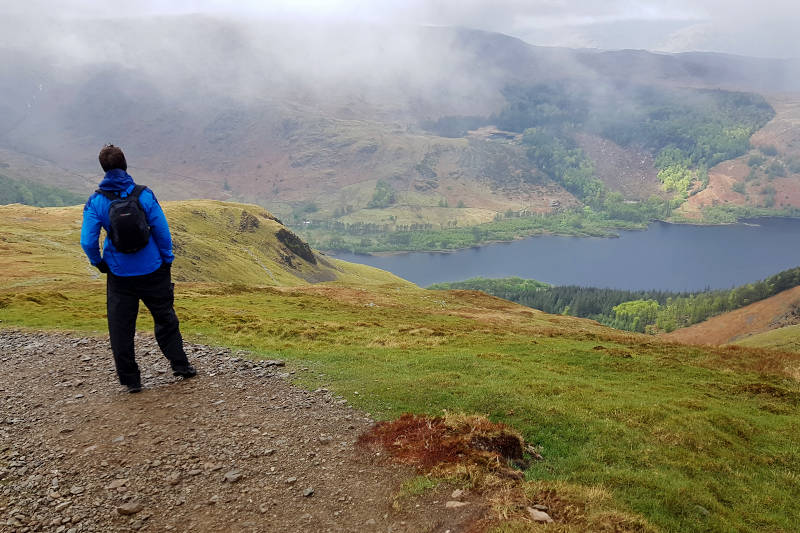
Continuing the descent and approx a mile beyond Nethermost Pike the path climbs for a short distance to the summit of Dollywaggon Pike (858m). A cairn marks the summit and signals the start of the descent off the hellvellyn range. A steep path zig-zags down to Grisedale tarn – on a hot summer day this is a great place to dip you sweaty hot feet into the ice cold water, its also a beautiful wild camping spot.
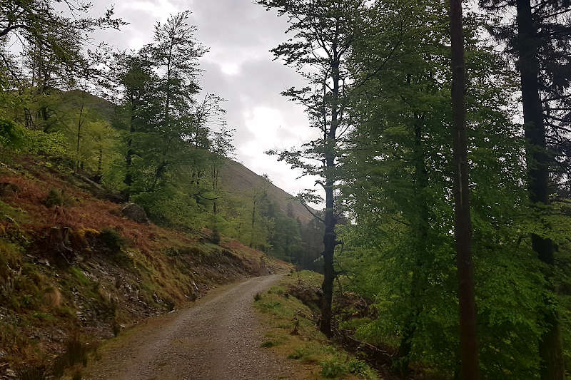
A further descent takes you down to within a stones throw of the A591, its then an admittedly somewhat tedious undulating forest track yomp back to Swirls car park. Glimpses of Thirlmere reservoir and the landscape beyond will provide some entertainment, otherwise its a case of get your head down – the quicker you walk the quicker you get to the pub !
Remember – we cannot highlight all potential hazards when out in the great outdoors. Safety is ultimately down to you. Educate yourself in safety, weather reports, navigation and equipment specific to the activity you intend to undertake and conditions/terrain you may encounter! Check out adventuresmart.uk for general outdoor safety considerations – and activity specific guidance for hill walking, paddle boarding, mountain biking and open water swimming.
Further Info
Starting Point – Swirls Car Park (Postcode CA12 4TW) is located at the northern end of Thirlmere Reservoir. The closest towns are Keswick, Ambleside and Windermere.
Parking – Pay and display parking at Swirls Car Park, the machine was broken on our trip!
Other Notes – there is a public toilet at the car park. In terms of maps I use the Harvey BMC Lake District map, along with the ViewRanger app.