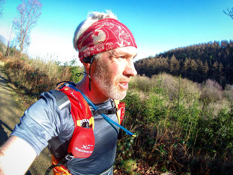
This exhilarating 10 mile trail run includes a double ascent of the mighty Moel Famau, whose technical terrain and lung-busting gradients intersperse with stunning scenery to provide a wild running experience unsurpassed in these parts.
Trail Running Route – Moel Famau from Loggerheads
Distance: 16km (10mi) / Elev Gain: 673m (2,209ft)
High Point: Moel Famau - 555m
Map: OS Explorer 265
GPS Download: Moel Famau Double Ascent from Loggerheads
Starting Point: Loggerheads Country Park
[sgpx gpx=”/wp-content/uploads/gpx/Moel Famau Double Ascent from Loggerheads.gpx”]
Starting from Loggerheads Country Park (see below for alternate start) you’ll climb steadily up to the edge of the forest (Coed Moel Famau) via quiet country lanes, farm tracks, fields and forest fireroads. This Area of Outstanding Natural Beauty (AONB) certainly lives up to expectations, with glimpses of Moel Famau a reminder that the going is about to get a whole lot tougher!
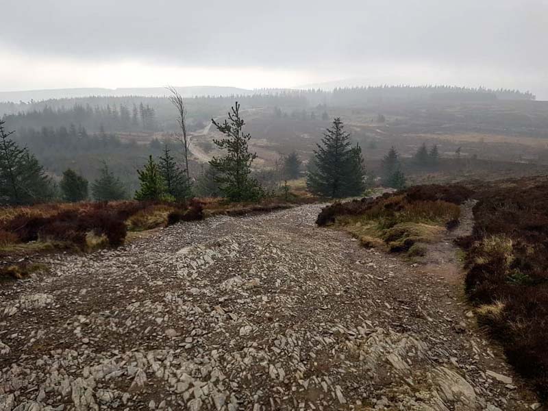
A steep trail off the fireroad marks the start of the first ascent to the summit. At approx 1 mile long the ground is a mix of compacted mud, loose stone, roots and rocks. The trail ramps up to gradients in excess of 30% – a test for even the most seasoned fell runner. The summit of Moel Famau marks the highest point in the Clwydian Range, with sweeping views reaching as far as Snowdonia on a clear day. The ruins of Jubilee tower sit atop the summit, and its worth taking a quick detour for an elevated view and perhaps a selfie!
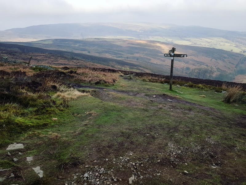
Multiple paths converge at the summit so its worth double checking your GPS/map prior to the descent. The path down to and through the forest is steep and exhilarating in equal measures, with loose stones demanding thoughtful foot placement. The path leads directly to Moel Famau Lower car-park, where some toilets are located in-case you’ve been caught short! Join the trail which runs uphill and parallel to the road (Bwlch Pen Barras), its accessible from behind the toilets and leads to the Moel Famau car park.
This car park is a popular starting point for a return walk up to the summit of Moel Famau (or the less popular Moel Fenlli), and it is this route that you’ll follow to complete the second Moel Famau ascent of the day. The trail is gradual at first, with great views ever present and Jubilee tower making teasing appearances as the path undulates towards the summit. Close to the summit the trail ramps up significantly in gradient, time to get in the zone and finish this baby off!
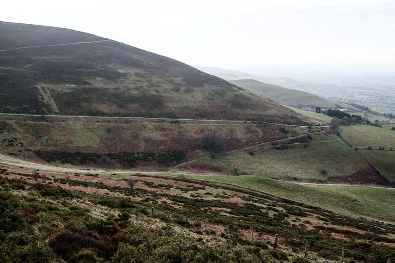
At the summit maintain your direction of travel, taking the path on the opposite side of Jubilee tower and beginning the long high octane descent back to Loggerheads. There are some tremendous views on the way down – don’t forget to look up once in a while! You’ll pickup a bridleway and eventually signs for Loggerheads, before joining a singletrack lane. Have your GPS handy here as some of the trails are tricky to spot.
Cross the River Alyn by footbridge and join the Leete path (signed), you’ll pickup more signs for Loggerheads before finally crossing the river again via a stone bridge (go past the wooden bridge). Pop into Caffi Florence for a brew and pat yourself on the back for a job well done!
Hazards
Rocky steep terrain and exposed paths. Much of the route has no phone signal.
Remember – we cannot highlight all potential hazards when out in the great outdoors. Safety is ultimately down to you. Educate yourself in safety, weather reports, navigation and equipment specific to the activity you intend to undertake and conditions/terrain you may encounter! Check out adventuresmart.uk for general outdoor safety considerations – and activity specific guidance for hill walking, paddle boarding, mountain biking and open water swimming.
Further Info
Getting Started – exit the main Loggerheads car park entrance and take an immediate right up the singletrack lane – this will get you on your way to start the run. Alternatively there is a wooden boardwalk from the main car park that leads up to the overflow car park, the exit from this car park joins the aforementioned lane.
Getting There – Loggerheads country park is located in the village of Loggerheads in Denbighshire. Sat Nav Postcode is CH7 5LH and it is signed from the A494. Pay and Display parking onsite or limited off-road parking on the A494 close to Loggerheads entrance.
Alternate Start – Park at the Moel Famau Lower Car Park (pay on entry, £2 cash ) and pick-up the trail leading to the Moel Famau Car Park.
Other Notes – Visitor centre, Cafe and toilets at Loggerheads country park. The popular We Three Loggerheads pub is opposite the main entrance, a petrol station/shop is walking distance from the entrance.